
How the farmer’s season
becomes a record.
A farmer enters each task a single time. Satellite and weather check it, crop models read the state of the crop, the rules are applied, and the farmer decides who reads the result.
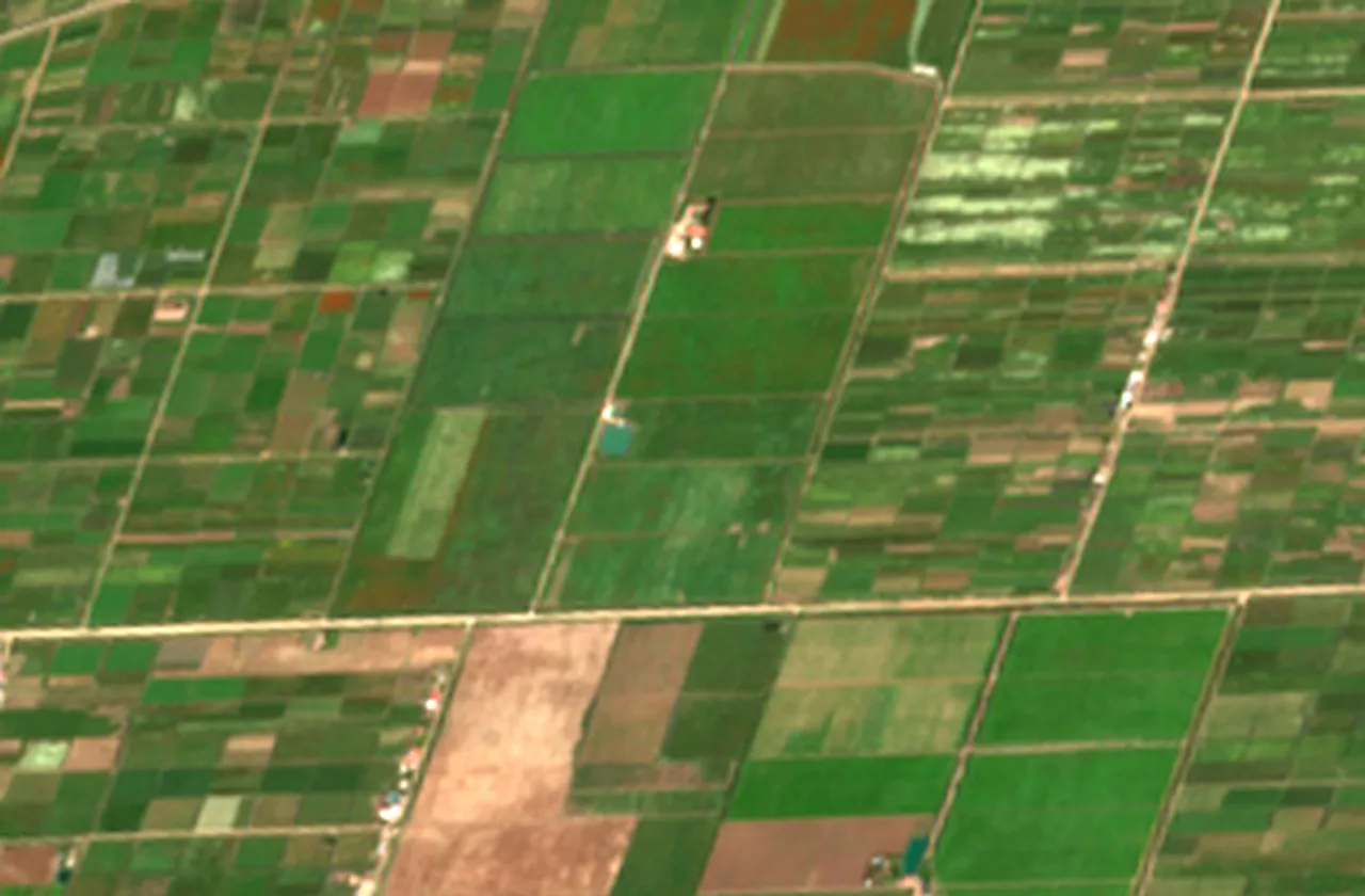
- Satellite imagery
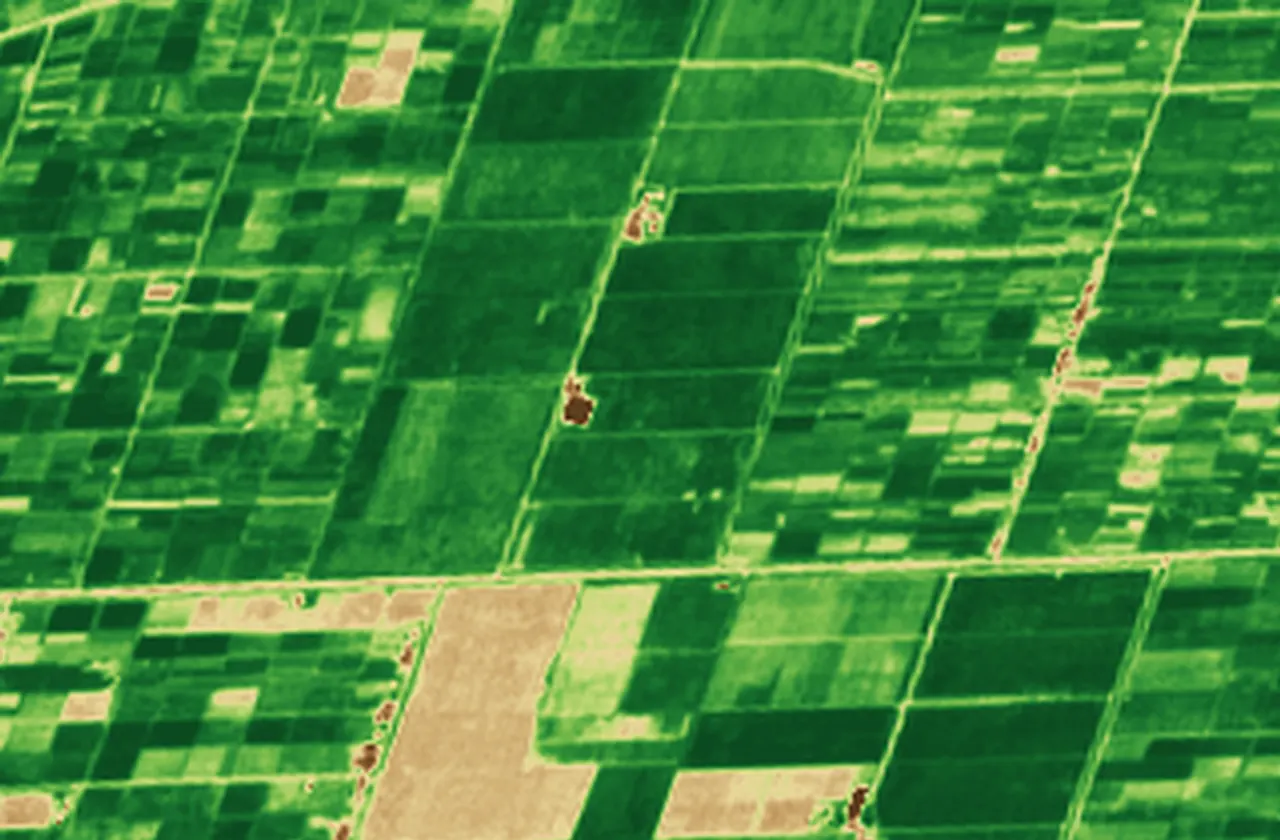
- Vegetation index
- Parcels and field records
- Checks and evidence
Built in layers.
Read as one record.
Each layer comes from a different source and is checked on its own terms. Together they describe one parcel through one season.
- 01
Ground truth from the field.
Andika records sowing, treatments, photos and harvests on the parcel itself, with a time and a place attached as they happen.
- 02
The view from above.
Satellite imagery and weather place the parcel in its landscape and fill the days between visits. Five ways of reading the same irrigated plain: colour, plant vigour, radar texture, change between passes and the light spectrum.
- 03
The state of the crop.
Crop Pulse and the digital twin turn those signals into an estimate of growth and a forecast range, revised as observations arrive.
- 04
The rules that apply.
Codex checks each record against the requirements of the crop, the market and the programme, and keeps the version used.
- 05
One record, many readers.
Workspace and Trace show each actor the layers that serve their decision, under the permissions the record holder granted.
The observation
closes the loop.
A persistent crop state connects each pass through the cycle. Every new observation can change what comes next.
- 01
Observe
Satellite, weather, field
- 02
Align
Location, date, crop stage
- 03
Update
Prior + observation
- 04
Forecast
State → possible futures
- 05
Review
Interpret, act, observe again
Choose the method for the question.
- Geometry
- Segmentation proposes field boundaries. Compare the proposed outline with the source image and local field knowledge.
- Trajectory
- Time-series models describe changes across dates. Crop stage and observation quality matter as much as the curve.
- Mechanism
- Process models connect crop growth with weather, soil and management assumptions. Inspect the inputs before interpreting a scenario.
- Correction
- Assimilation updates an existing state with a new observation. Keep the prior, observation and revised outlook distinguishable.
The full method, the sensors, the models and how each is checked, is available as a note on request.
Ask for the method noteThe tools
around the record.
Records work on the parcel, offline included, in four languages.
One screen where agronomists, cooperatives, banks, insurers and buyers review a season and act on it.
The signal of a whole plain followed down to each parcel, with forecast ranges and scenarios.
The season at a glance, region by region: rainfall against normal, vegetation and crop maps.
Shows a buyer the passport of a lot, its checks and its ledger fingerprints.